
From March 18 to 20, the 2nd Spatiotemporal Big Data and Artificial Intelligence Technology Summit was held in Zhuhai, Guangdong, under the guidance of the China Society for Geodesy and Photogrammetry and Cartography and Zhuhai Municipal People's Government. The summit was sponsored by Henan University, Shenzhen University, and the Committee of Big Data and Artificial Intelligence of China Society for Geodesy and Photogrammetry and Cartography, and organized by Zhuhai Orbita Aerospace, Henan Industrial Technology Academy of Spatio-temporal Big Data, and the Research Institute for Smart Cities of Shenzhen City. It was held under the theme of "Digital Economy Promotes the Innovation and Development of Spatiotemporal Big Data and Artificial Intelligence Technology", serving as the platform for in-depth exchanges and discussions.
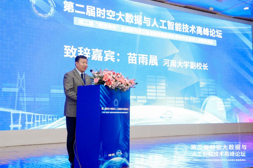
At the Summit, speeches were given by Yuchen Miao, vice president of Henan University, Qingquan Li, academician of the International Eurasian Academy of Sciences and secretary of the Party Committee of Shenzhen University, Wenkai Liu, president of the North China University of Water Resources and Electric Power, Baofeng Yang, member of GNSS and LBS Association of China, and Chaozhi Song, Chairman of China Society for Geodesy and Photogrammetry and Cartography. The summit was attended by nearly 200 people, including Ziqing Wei, academician of the Chinese Academy of Engineering and professor of Shenzhen University, Jiayao Wang, academician of the Chinese Academy of Engineering and professor of Henan University, Renzhong Guo, academician of the Chinese Academy of Engineering and professor of Shenzhen University, as well as representatives of local experts, military experts and those from academia and business circle like Henan University, TOPRS, Vastitude Technology, and Zhongyuan Spacetime Technology.
At the summit, experts conducted academic exchanges in technology and industry, related to key technologies of spatiotemporal big data and artificial intelligence and the development of digital economy, in order to advance the open sharing of data resources and promote the integrated development of dual-use technologies and equipment. The summit hosted the award ceremony of the 2nd "Orbita Cup" National Hyperspectral Satellite Remote Sensing Image Intelligent Processing and Industry Application Competition and the signing ceremony of the cooperation agreement.

 News /
Content
News /
Content


